
Optics Mag is reader-supported. When you buy via links on our site, we may earn an affiliate commission at no cost to you. Read more.
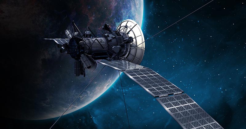
What Is Satellite Imaging? How Does It Work?
Last Updated on

Satellite imaging, also referred to as remote sensing, is a technique primarily applied to advanced surveying and data analysis. It’s different from the aerial photography techniques that we’re used to in the sense that it utilizes airborne sensors to collect, process, and document structural or environmental information in an accurate and more timely manner.
Satellite imaging can be used with a mapping or machine learning application, to transform raw image data into measurable three-dimensional maps, thus providing insight into the ever-changing conditions that typically characterize the infinite spatial and temporal distances.

Is Satellite Imaging the Same As GIS?
To an engineer or a research expert, satellite imaging is a vital tool that has been applied in situations that endanger human lives or in inaccessible areas. But it shouldn’t be confused with the Geographic Information System because they are very different.
You see, even though they are both sections of the same data collection and analysis ecosystem, satellite imaging largely focuses on data collection (aerial surveying), while the Geographic Information System specializes in the processing of the said data.
So, if you think about it, they are essentially two cogs of the same system that fully rely on each other. If one of the cogs experiences a breakdown, the other one will be directly affected.
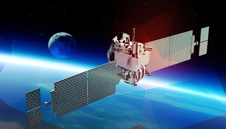
How Does Satellite Imaging Work?
It’s virtually impossible to understand how satellite imaging works, without first comprehending the principles of the electromagnetic spectrum. That’s because this methodology of data collection uses the radiation waves found in the spectrum to collect the data we need.
According to physics 101, energy usually travels in the form of waves. You’ll learn that it doesn’t quite matter what type of energy we’re referring to, seeing as even the light energy from our sun and the kinetic force acting on an object are transmitted in the same fashion.
But unlike energy, the different forms of matter that exist often come with their own unique properties. Solids, for example, won’t transfer, absorb, or reflect energy, the same way liquids and gasses do. And it’s for this reason that the sensors being used in satellite imaging have the ability to quickly pick up the nature of an unknown object just by observing how it interacts with various energy sources.
Assuming you have all the right sensors strategically placed, an insignificant variation in visible light will be more than sufficient for the generation and transmission of information about a particular object found on the Earth’s surface. And the data collected could tell us all we need to know with regards to the growth potential of vegetation in a given region, from hundreds of miles in the sky.
From a spectral perspective, the radiation wavelengths that are being reflected off the soil or vegetation, are so unique that they can generate something like a fingerprint that straight away tells us about the properties of the object. You’ll know what type of matter you’re dealing with, its chemical composition, overall density, etc.
The type of sensors used by scientific experts during research is highly powered, and uniquely calibrated, to ensure that they can steadfastly capture any minute evidence from the varying spectral bands. Such data, even if it looks insignificant, is always critical in determining a wide array of factors, including foliage composition, type of terrain, minerals found in a particular area, and more.
In satellite imagery, we mostly use visible light as the standard metric. However, in some cases, we rely on infrared light and ultraviolet radiation.
What Are the Different Types of Satellite Imaging?
Every visual remote-sensing system has a sensor. It’s actually the component that gives the system the ability to sense the waves. In general, we have two types of sensors: the active sensor and the passive sensor. If your satellite imaging process is reliant on an active sensor, we’ll say it’s an active remote-sensing system. And the same applies to its passive counterpart.
Active sensors have the capability to send their own signals to the surface, which are then measured once reflected. Passive sensors, on the other hand, lack this ability. They can only detect the sun’s radiation after it’s been released or reflected by the objects on the surface.
Passive Sensors
Passive sensors are often designed to detect waves that fall within the infrared and visible regions of the electromagnetic spectrum. However, there are a few exceptions, as we’ve come across passive sensors that have the ability to detect waves that are found in the microwave section of the spectrum.
Such types of sensors are ideal for situations where you’re looking to monitor and measure variables such as atmospheric water vapor, surface temperature, wind velocity, soil moisture, etc. The passive sensor concept is not as complex as that of its peer, seeing as it doesn’t rely on an energy source. You’ll get your imagery the minute the sun’s light illuminates the target.
Ironically, the one thing that makes the passive sensor an asset is also the same thing that limits most of them—not all, but most. If your target happens to be in areas that experience polar nights, your sensors won’t be as effective as they are designed to be. Although a few of them will eventually manage to capture the nocturnal lights and clouds, most of them won’t be able to function at all.
Operating with waves that fall within the infrared and visible regions of the spectrum means these sensors are always negatively impacted by weather and cloud cover. In addition, since the rays of the sun are usually reflected from the surface of an object, it would be difficult to gauge the amount of plant structure found under a canopy, in a forest.
And that’s where the active sensors come in. They are able to acquire this sort of data with ease and deliver it in real-time. Have you ever heard of Lidar or Radar? These are active sensors designed to generate their own energy, meant to light up a target. The generation of energy is tasked to the signal generator, while the receiver collects the data.
Active Sensors
Active sensors measure two things: the time between the signal generation and returning pulse, and the signal intensity. That’s all you need to figure out the type of vegetation structure lying on the targeted surface.
Radar is an acronym that stands for Radio Detection and Ranging. These types of sensors work with the waves found in the microwave section of the electromagnetic spectrum, and that’s why they are fully insulated from the effects of the rains and clouds.
Lidar as an acronym represents Light Detection and Ranging. These devices have lasers that emit waves found in the near-infrared and visible regions of the spectrum. These systems are so efficient in that they are capable of generating a series of different returning pluses from one emission. And the said pluses are recorded by the detector.
They can either be captured as discrete waves or continuous waves. It doesn’t quite matter, as long as they correlate with the returning signal’s peak. Also, it’s worth noting that the returning pulses always correspond to the target’s top and the base substrate.
For example, if we’re looking at a forest, we’ll get signals from the tree canopy and those that are reflected off of the ground. In other words, you’ll always know the height of the object you’ve targeted.
Where Is It Used?
Facilitating Agricultural Practices
It’s no secret that we would have all starved, or constantly experienced food shortages, if we failed to invest heavily in agriculture. The high cost of living is not the only challenge faced by farmers in this country. They also find themselves dealing with limited freshwater sources, extreme weather, and unfavorable climate changes, among other natural disasters.
Lucky for us, space-based technology has helped us ameliorate the situation. These systems have been incredible assets to not only farmers but also agronomists and other policymakers. We have managed to increase productivity over the years, as well as our marginal profits.

Conserving Wildlife
We’re not trying to imply that satellite imaging is the only technology that has successfully delivered substantial results in the monitoring and assessment of wildlife departments, but it has certainly contributed a lot. The high-resolution satellite imageries generated have made tracking endangered species possible in remote areas, as well as mapping their habitats.
Risk Assessment
Satellite imaging has been a game-changer in the process of risk management, mitigation, and more importantly, estimation. We used to struggle to collect data from remote and vast regions, but now we can, in a very short time period. Lots of lives have since been saved, as we’ve been able to identify potential natural disaster hotspots beforehand and warn people early.
Advantages of Satellite Imaging
- Satellite imaging is a fast and reliable method of data collection
- The data collected can be used and reused over an extended duration
- It’s an instrumental tool in the protection of endangered species
- It’s a more efficient survey method
- Doesn’t cause pollution

Disadvantages of Satellite Imaging
- Finding sufficient space to store this high-resolution data can be challenging
- Data interpretation is susceptible to human error
Frequently Asked Questions (FAQs)
What’s Metadata?
In a more general sense, metadata is the term used to describe data collected from other data. And it’s an important piece of the satellite imaging puzzle, seeing as it provides more insight with regards to the previous data collected.
If you can get your hands on a project’s metadata file, you’ll know who initiated the project, why it was commissioned, and the value that it brings to the table. It’s also the tool that you’d typically use to generate a three-dimensional map or surveillance system.
What Does a Satellite Image Look Like?
It’s just an ordinary image, except that it shows you everything that’s between the satellite and the earth’s surface. That means you’ll be able to see the clouds, vegetation, infrastructure, animals, humans, land, haze, etc. All these things will be visible in a single, flat plane.

Are Satellite Images Accurate?
These images aren’t as accurate as people are led to believe. When we talk about image accuracy in relation to space technology, we’re referring to the actual geographic position of the object on the ground, relative to the object on the image.
Not even the most powerful satellite ever created by man can give an accurate position of an object on the ground because accuracy is often influenced by several factors. That includes the terrain, sensor angle, satellite position, and the fact that the earth keeps rotating on its axis.
Final Thoughts
Satellite imaging is also known as remote sensing. And it’s all about scanning the Earth’s surface using a satellite to collect data.
The satellites use different types of sensors, but the main ones are active and passive sensors. This space technology has several applications, including solar optimization, risk assessment, wildlife conservation, and facilitation of agricultural practices.
Featured Image Credit: Dima Zel, Shutterstock
About the Author Robert Sparks
Robert’s obsession with all things optical started early in life, when his optician father would bring home prototypes for Robert to play with. Nowadays, Robert is dedicated to helping others find the right optics for their needs. His hobbies include astronomy, astrophysics, and model building. Originally from Newark, NJ, he resides in Santa Fe, New Mexico, where the nighttime skies are filled with glittering stars.
Related Articles:
What Is the Best Binocular Magnification for Hunting? Optical Features Explained
How to Clean a Refractor Telescope: Step-by-Step Guide
How to Clean a Telescope Eyepiece: Step-by-Step Guide
How to Clean a Rifle Scope: 8 Expert Tips
Monocular vs Telescope: Differences Explained (With Pictures)
What Is a Monocular Used For? 8 Common Functions
How to Clean a Telescope Mirror: 8 Expert Tips
Brightfield vs Phase Contrast Microscopy: The Differences Explained