
Optics Mag is reader-supported. When you buy via links on our site, we may earn an affiliate commission at no cost to you. Read more.
How Is Satellite Imagery Used in Agriculture? What to Know!
Last Updated on

The truth is that the application of satellite imagery in agriculture isn’t a new thing. If you consider yourself a historian, go check the records of new innovations employed in this practice over the years. you’ll learn various agricultural organizations have been utilizing images collected by our satellites from space for decades. Satellite imagery is used in agriculture for monitoring crops, collecting samples, fertilizing, and more.
Learn more about this below.
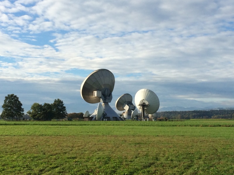
The Landsat Satellite
Do you remember the Landsat program? That satellite started collecting, analyzing, and transmitting data way back in 1972. We thought it was going to be a game-changer, especially in the agricultural sector, until we realized the images that were being captured at the time had relatively limited use.
Some sources believe the low frequency of the generated images and low resolution were the chief reasons we never entirely made the giant leap we expected, but we hold a different opinion. We think it’s largely due to the fact that we didn’t know how to integrate all that valuable data into our farms’ day-to-day activities.
Fortunately for us, lots of other new innovations have popped up. We now have a way to seamlessly integrate new and old innovative technology, before incorporating them into our agricultural practices meant to increase the world’s food supply.
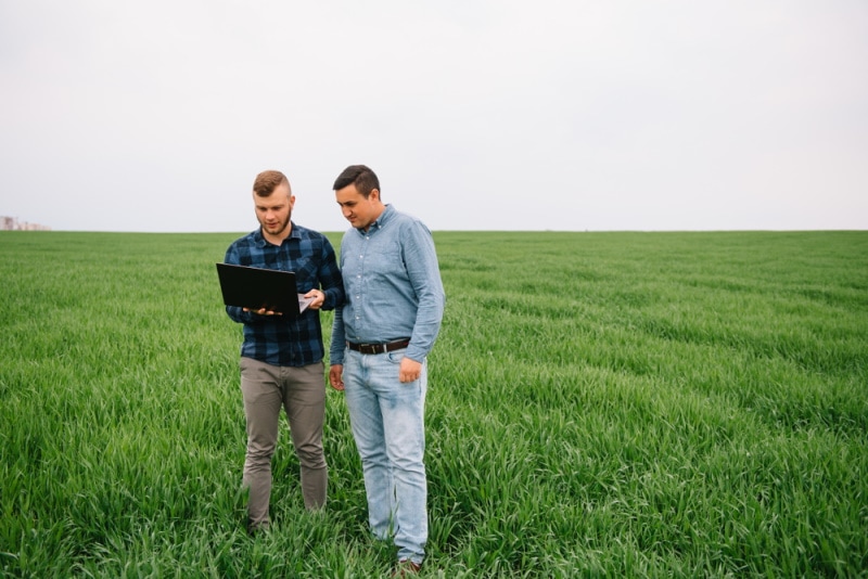
Precision Agriculture
Precision agriculture—sometimes referred to as precision farming—is the optimization of food production around the world with the help of technology and available data. The process in itself is sort of like a feedback loop. Parts of this space technology are tasked with making observations, the other parts collect and analyze data, while the rest apply the processed data to show farmers how they can increase their marginal returns while managing costs and other factors.
The United Nations had initially set a goal of increasing our food production by at least 50% in the next 3 decades. Although we were motivated to try, we didn’t exactly know how we were to achieve such a feat. Until experts presented precision farming as a viable option. After giving it a test run, we quickly realized the thought of increasing our global productivity by 1.75% every year, in the next 30 years, was no longer a pipe dream.
Satellite Farming
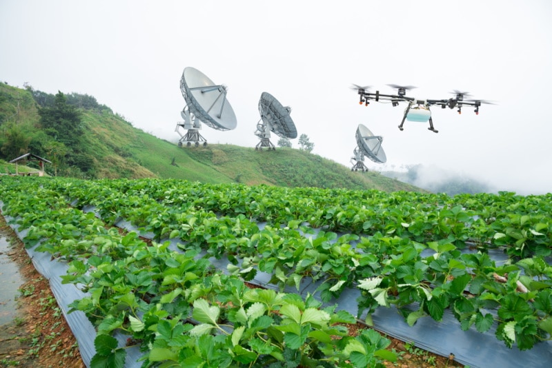
Satellite farming is the same as precision farming, save for the fact that we’re referring to a specific type of technology here—the satellite. You’re allowed to call it GPS farming if you like, as it’s a system that’s designed to help farmers accurately navigate various field locations, with the sole intention of monitoring different crop conditions and collecting soil samples.
Field imaging and the generation of detailed maps are some of the benefits conferred by this technology. And such data is often used by harvest sensors and other agritech tools to determine unforeseen factors that could influence output maximization in the long run.
What Is Satellite Imagery?
We like to think of the satellite and the images generated as two separate entities. Although we’ve often acknowledged that there are no images without the satellite, you cannot push aside the fact that organizations use them differently.
Satellite data is a term used to describe the collected pixels in relation to distance from the Earth’s surface. Those pixels are what constitute the optical satellite images, which by the way, have different time scales and resolutions. A single pixel will most likely represent an area of 30m x 30m on the ground, or maybe more, depending on the type of satellite being used.
So, we would define satellite imagery as pixels of the Earth’s surface that have been collected, transmitted, and analyzed using space-tech technology.
How Are Satellite Imageries Used?
Plant Identification & Health Detection
The study of the electromagnetic spectrum has led us to the realization that various plant species exhibit unique spectral reflectance properties. And our satellites have been designed with remote sensors specifically calibrated to measure reflectance.
After that data has been collected and analyzed, it’s then used to derive what we called “The vegetation indices.” For example, if the satellite receivers received near-infrared wavelengths reflected off the surface, they’ll be used to compute the Normalized Difference Vegetation Index (NDVI), which will then provide us with an update on the health status of the crops at the surface.

Monitoring Yields
We all know that farmers have their own preferred farming methods. Some methods are effective, while others aren’t. It’s not that difficult to determine which farming methods are ineffective considering all you have to do is look at the crop yields.
By definition, a crop yield is the harvested production per unit, with respect to the harvested section for crop products. Some farmers don’t have a way of recording this metric because they either lack the tools or know-how.
But thanks to satellite imagery, working in conjunction with our yield monitoring systems, farmers are now able to easily figure out the correlation between the harvested yields and farming method. All they have to do is to compare the yield maps of different farming sections while taking into account the methods of farming.
Field Planning
In agriculture, we sometimes manage vegetation. This is the practice of controlling and/or eliminating some of the vegetation in a particular area for various reasons. But to accomplish this task, as a farmer, you’ll need a work plan.
A carefully crafted plan that will detail everything there is to know, including the where, how, when, and by whom. Without a plan, you’ll most likely forget to evaluate the strain of traversing the terrain, establish the level of risk involved, or appraise the potential impact of weather.
Long story short, it’s the plan that takes into account all the factors involved and gives you a blueprint of the next course of action. But to draft a plan, you need data. And that’s where satellite imagery comes in. It will provide you with everything you need, including the type of vegetation and the risks involved.
Fertilization
Satellite imagery is the detection tool that tells farmers which sections of the farm are nutrient deficient. And you can just see from the images generated the areas that have crops that are densely populated, and those that are scarcely populated. With this information, the next time the farmer applies fertilizer, they will know where to add more nutrients, and which sections to ease off.

Final Thoughts
We’d like to wrap this up by acknowledging the contributions made by machine learning in the advancement of satellite technology. More often than not, we tend to focus more on the benefits of space technology that we forget it’s because of machine learning that we’re able to integrate it into agricultural practices.
Machine learning is the part of artificial intelligence that relies on data to build systems that improve performance. So, you don’t have to be a genius to see how it has played a key role in increasing our global food supply.
Featured Image Credit: Budimir Jevtic, Shutterstock
About the Author Robert Sparks
Robert’s obsession with all things optical started early in life, when his optician father would bring home prototypes for Robert to play with. Nowadays, Robert is dedicated to helping others find the right optics for their needs. His hobbies include astronomy, astrophysics, and model building. Originally from Newark, NJ, he resides in Santa Fe, New Mexico, where the nighttime skies are filled with glittering stars.
Related Articles:
What Is the Best Binocular Magnification for Hunting? Optical Features Explained
How to Clean a Refractor Telescope: Step-by-Step Guide
How to Clean a Telescope Eyepiece: Step-by-Step Guide
How to Clean a Rifle Scope: 8 Expert Tips
Monocular vs Telescope: Differences Explained (With Pictures)
What Is a Monocular Used For? 8 Common Functions
How to Clean a Telescope Mirror: 8 Expert Tips
Brightfield vs Phase Contrast Microscopy: The Differences Explained