How Is Satellite Imagery Used to Fight Forest Fires?
Last Updated on

Wildfires destroy an average of 7.4 million acres, with 61,289 annually.1 The environmental impact is one thing. However, much more is at stake. The Verisk 2019 Wildfire Risk Analysis estimates that 4.5 million American homes are also at risk.2 Over 2 million dwellings are located in California alone. The sobering reality is that people are the primary cause of these incidents.
It’s imperative to understand that fire is a natural element of many ecosystems. Lightning causes many wildfires. Thus, many plants, such as Jack Pines, adapted and evolved with their presence. The problem with forest fires today is the lack of these conflagrations. Their absence allows duff and litter to build up, making the inevitable blaze even more dangerous for people and wildlife.
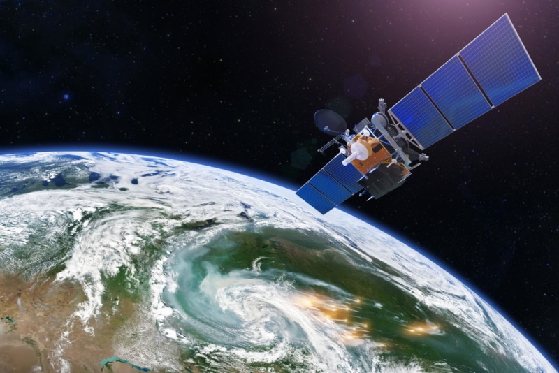
Thus, the need for technology for better fire management. It has included many things, such as tools for firefighters to get them under control and the use of smoke jumpers to fight them on the ground. Satellite imagery has provided even more help for the brave individuals on the front lines. Satellite imagery is used to fight forest fires by identifying hot spots, predicting fire behavior, minimizing property loss and fatalities, and assessing damage after a fire.

Tools for Managing Forest Fires
While scientists explored the concept of satellites, it wasn’t until 1957 that it took off when the Soviet Union launched Sputnik I. The United States has the most crafts in space at 2,804. They serve various purposes, from exploration to GPS to meteorology. Recent developments have shown this technology’s usefulness for fighting forest fires.
Identifying Hot Spots
Many forest fires may go unnoticed until they’ve gained strength. Satellite imagery can help firefighters identify hot spots to extinguish them before they get out of control. Fires create their own weather, sending sparks flying and threatening additional damage. This technology provides better situational awareness than aircraft while minimizing the risks.
Often, satellite imagery detects a fire before anyone else spots it.

Forecasting Fire Behavior
One of the main benefits has been modeling fire behavior for predicting their paths. It’s valuable for the allocation of firefighting resources and risk assessment for evacuation orders to protect people. Tools that make it possible include geographic information systems (GIS) that provide topographical information. Landscape features like rivers and elevations can influence a fire’s spread.
Ecological maps can identify soil moisture and habitat types associated with them. Satellites can act as the eyes to track fire behavior when smoke makes it impossible to view otherwise. It allows for improved communication between teams working remotely. Firefighters receive this information quicker, making control possible.
Fire management combines several technologies and algorithms. It also brings together different agencies, including the USDA Forest Service, National Park Service (NPS), and National Aeronautics and Space Administration (NASA). One vital piece of information comes from following the development and height of smoke plumes.
The height of smoke plumes can identify areas at risk from hot spots based on the distance that sparks may travel. That can, in turn, help decision-makers issue evacuation orders to minimize the loss of life.

Controlling Property Losses and Fatalities
NASA and the National Oceanic and Atmospheric Administration (NOAA) bring geostationary platforms and polar orbiters to the table with their satellite technology. The former brings up-to-date information with repeat imaging. The latter flies lower to the ground to obtain more refined imagery. The agencies have several specialized tools that provide additional information.
For example, the Advanced Spaceborne Thermal Emission and Reflection Radiometer (ASTER) instrument works in conjunction with satellites to deliver data on the dynamic nature of forest fires. It makes elements of the blaze visible for better direction of firefighting efforts.
The ECOsystem Spaceborne Thermal Radiometer Experiment on Space Station (ECOSTRESS) helps predict fire risk to the environment, including wildlife and ecosystems. Firefighting also combines many disciplines, including meteorology, geography, astronomy, and ecology.
Assessing the Damage
Assessing the aftermath of forest fires is just as vital a piece to minimizing the risks of these natural disasters. Scientists learn more about their behavior to make better decisions when they may have little time to direct firefighting resources. It can also identify high-risk areas to protect property owners. It’s worth mentioning that the Forest Service’s public lands suffered the greatest losses in 2021.
These data can also better inform the public and insurance carriers. While the move to remote areas is understandable, it comes at a price. It’s easy to argue in favor of finding one’s dream house. It’s another thing to know what’s at stake when you build in a high-risk area.


Wrapping Up
Forest fires have a devastating impact on property and lives. The consequences have far-reaching effects that are often catastrophic for people and the environment. Unfortunately, fire suppression and development in remote areas have created the perfect storm for the consequences of wildfires. Luckily, satellite imagery provides scientists and firefighters with new tools to minimize costs.
Featured Image Credit: aappp, Shutterstock
About the Author Chris Dinesen Rogers
Chris has been writing since 2009 on a variety of topics. Her motto with all of her writing is “science-based writing nurtured by education and critical thinking.” Chris specializes in science topics and has a special love for health and environmental topics, and animals of all shapes and sizes.
Related Articles:
How to Clean a Refractor Telescope: Step-by-Step Guide
How to Clean a Telescope Eyepiece: Step-by-Step Guide
How to Clean a Rifle Scope: 8 Expert Tips
Monocular vs Telescope: Differences Explained (With Pictures)
What Is a Monocular Used For? 8 Common Functions
How to Clean a Telescope Mirror: 8 Expert Tips
Brightfield vs Phase Contrast Microscopy: The Differences Explained
SkyCamHD Drone Review: Pros, Cons, FAQ, & Verdict
