
Optics Mag is reader-supported. When you buy via links on our site, we may earn an affiliate commission at no cost to you. Read more.
Can Satellites See Inside Your House? History, Facts, & FAQ
Last Updated on
Up until a few years ago, we didn’t even think that a satellite could generate signals that were strong enough to penetrate walls. We thought piercing through the atmosphere on a cloudy day (with close to zero visibility) was the best they could do.
Well, that was way before our space-tech companies decided to push the game to a whole new level. Those organizations went back to the drawing board, made a few adjustments using the existing SAR technology, and gave us satellites that were one of a kind.
SAR is an acronym that stands for Synthetic Aperture Radar. And it’s one of the vital tools used in remote sensing, to detect physical properties by bouncing off microwave radar signals off the surface of the Earth.
This beautiful piece of space technology is so powerful that its radar signals can penetrate the walls of certain structures without breaking a sweat. Fortunately—or unfortunately, depending on how you look at it—once it gets past the barrier, it becomes too weak to image anything or anyone who’s inside.

Does The SAR Satellite Capture Clear Images?
Our brilliant space-tech experts have finally managed to design a satellite that has the ability to not only capture crystal clear radar pictures but also guarantee high-resolution imageries. The term “resolution” in the remote sensing context, refers to the total number of pixels displayed on a flat plane.
Alternatively, you could define it as that section of the earth’s surface being represented by a single pixel in an image file. Are the images an accurate depiction of what’s on the ground? Yes, and no.
Yes, because you’ll see every object in the targeted area, but no, since the objects in the captured images are not always in the exact geographic position on the ground. Nonetheless, this should be expected, as there are several other factors at play here.
The surface terrain will obviously affect the satellite’s image accuracy, as well as the speed at which the satellite is orbiting the Earth.
Can a Satellite Capture Clear Pictures at Night?
Yes, but only a SAR satellite, and not the traditional kind. Most of the old observational and surveillance satellites that are still orbiting our planet cannot snap clear images at night or on a rainy day. This has been a problem for years, as most of the time half of the world is in darkness while the other half grapples with cloud cover.
If we had to work with a ballpark figure, we would estimate our old satellites used to struggle to cover about 75% of the Earth at any one given time. We either had to wait for the clouds to pass or for the sun to rise, seeing as they were designed to fully rely on optical imaging sensors. These types of sensors are only effective in the presence of light, and the absence of cloud cover.
SAR space technology is the reason why we now have satellites that can peer through those dark clouds and lightweight structures.
It offers scientists, private entities, and governments the opportunity to collect sufficient data on various phenomena and catch a glimpse of what’s happening around the world, without having to worry about the weather or time of day.
Who Developed SAR?
To be clear, Capella wasn’t the company that first developed SAR. The brilliant brain behind this technology was Carly Wiley, who plied his trade at Lockheed Martin Corporation. And that was way back in 1951 when the company was still known as Goodyear Aircraft Company. It first changed its name to Goodyear Aerospace Corporation, and then Loral Corporation, before settling on its current name.
It’s important to note that the current SAR system is not the original design, as it has gone through several changes to get to where it is right now. The very first system was called the Simultaneous Doppler Buildup, and it was regarded as cutting-edge technology. It was undoubtedly effective but still lacked a few essential features.
They, therefore, made some adjustments and tested it on flight systems, before making it fully operational. Years later, they again added the data link feature and more advanced sensors to give it the ability to capture clear images at 5 feet. After another test run, we finally added the SAR digital processor, to give it enough power to go large scale.
We’ve clearly come a long way since then. As per the company’s records, it has managed to install and fly more than 500 SAR systems on different planes, including those being used by the military, including the U.S. Air Force SR-71¹ aircraft, infamously known as “The Blackbird.”
How Does SAR Work?
First off, you have to remember that SAR is a system that generates images with the help of radio waves. And the wavelengths of these so-called waves are of varying frequencies.
From our observations, those wavelengths usually range from 3 centimeters to a couple of meters, thus making them longer than those which we’re used to seeing in visible light. You also have to note down that visible light falls within the segment of the electromagnetic (EM) spectrum that can be viewed with the naked human eye.
SAR works the same way a bat does. Yes, we’re referring to the flying mammal that utilizes echolocations to navigate dark places such as caves. You see, bats usually produce sound waves that have varying frequencies. We’ve studied them long enough to know those frequencies range from 50 to 120dB, depending on the age of the animal, among other factors.
Those waves bounce off any obstacle that they can find and come back to them. The faster they get back, the closer the obstacle is. And that’s how they understand distance.
This is relatively the same principle applied in the Synthetic Aperture Radar technology. The satellite produces and sends microwave pulses to Earth, they end up bouncing off of the objects found on the surface, picked up by the satellite’s sensor receiver, and interpreted to create images or a map of sorts.

Final Thoughts
We know there will come a time when satellites have the ability to image what’s going on inside structures and relay that information back to base. But right now, we’re still far behind in terms of technological advancements.
Even if they had that capability, you shouldn’t worry too much about other people spying on you. That would be tantamount to trespassing, which is punishable by law.
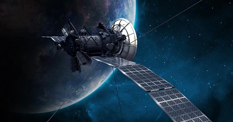
Featured Image Credit: PIRO4D, Pixabay
About the Author Robert Sparks
Robert’s obsession with all things optical started early in life, when his optician father would bring home prototypes for Robert to play with. Nowadays, Robert is dedicated to helping others find the right optics for their needs. His hobbies include astronomy, astrophysics, and model building. Originally from Newark, NJ, he resides in Santa Fe, New Mexico, where the nighttime skies are filled with glittering stars.
Related Articles:
When Were Binoculars Invented? History, Today & Future
How to Clean a Refractor Telescope: Step-by-Step Guide
How to Clean a Telescope Eyepiece: Step-by-Step Guide
How to Clean a Rifle Scope: 8 Expert Tips
Monocular vs Telescope: Differences Explained (With Pictures)
What Is a Monocular Used For? 8 Common Functions
How to Clean a Telescope Mirror: 8 Expert Tips
Brightfield vs Phase Contrast Microscopy: The Differences Explained